

Official Guides Series - Wales Coast Path: Isle of Anglesey Coast Path Map
Official Guides Series - Wales Coast Path: Isle of Anglesey Coast Path Map
pris rheolaidd
£9.99
pris rheolaidd
pris gwerthu
£9.99
Pris yr uned
y
Treth wedi'i chynnwys.
Cludiant cyfrifir wrth y til.
Methu llwytho argaeledd pickup
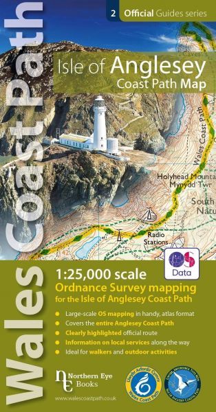
Map OS, graddfa 1:25,000 wedii fireinio ai wella ai oosd ar ffurf atlas hylaw syn cynnig taith ar hyd Llwybr Arfordir Cymru o amgylch sir Fôn. Cynhwysir detholion arfordirol o fapiau Explorer mawr 262 a 263.
English Description: Enhanced, large scale (1: 25,000) Ordnance Survey mapping in a handy atlas format with all the mapping you need to walk a complete circuit of the Anglesey section of the Wales Coast Path. Continuous OS mapping covering the complete circuit from Menai Bridge. Contains coastal extracts from large scale Explorer maps 262 and 263.
ISBN: 9781908632593
Cyhoeddwr/Publisher: Northern Eye Books @ Cordee
Dyddiad Cyhoeddi/Publication Date: 05/11/2019
Iaith/Language: EN
Argaeledd/Availability: Available