
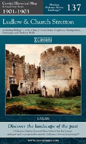

Cassini Historical Map: Revised New Series 1901-1903 - Ludlow and Church Stretton 137
Cassini Historical Map: Revised New Series 1901-1903 - Ludlow and Church Stretton 137
Methu llwytho argaeledd pickup
Map lliw sepia o ddiwedd oes Fictoria, wedi'i atgynhyrchu i gyd-fynd â chyfres Landranger yr Arolwg Ordnans: ardal Llwydlo a Church Stretton, yn cynnwys Bishop's Castle, Clun, Craven Arms, Trefyclawdd, Trefaldwyn, Llanandras a Tenbury Wells. Graddfa 1:50 000.
English Description: Sepia-toned map capturing the Late Victorian era, re-projected and enlarged to match the present-day Ordnance Survey Landranger series. This map covers Ludlow and Church Stretton, including Bishop's Castle, Clun, Craven Arms, Knighton, Montgomery, Presteigne and Tenbury Wells. 1:50 000 scale.
ISBN: 9781847363435
Cyhoeddwr/Publisher: Cassini
Dyddiad Cyhoeddi/Publication Date: 2007-12-15
Tudalennau/Pages: 0
Iaith/Language: EN
Argaeledd/Availability: Available
